|
It is very difficult to find a good classic map of the Azores, let alone one of Terceira Island. It could be just a coincidence that the archipelago is on the fold of most world maps. Take this as an example.
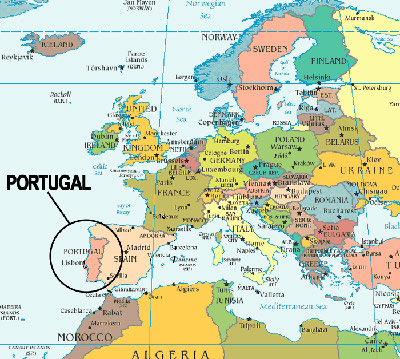
It's a European map with Portugal clearly visible but no Azores anywhere to be found. If you just ask for a map of Portugal you get continental Portugal but the islands are not to be seen.
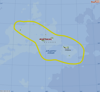
There are still problems as you can only see all nine islands if you are zoomed out but you don't see the islands in relation to other land masses.
Well, not much but we see some spots in the center that should be the 9 islands. On the left upper corner we see a snow covered land that is Greenland.and further south a bit of the Eastern Seaboard of the USA. On the right the Iberian peninsula and northern Africa. Now we can zoom in on Terceira Island and get no where.
Why is it that I can see my clothes hanging on the line in Rome but I can not even see our village on Terceira even though the very same satellite takes the pictures?
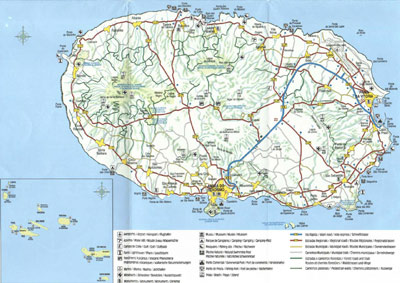
Click for full size image The Terceira map above is pretty good with an insert with the nine Azores Islands.
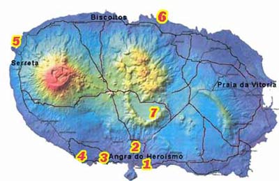
This map gives an idea of the elevation of Terceira Island.
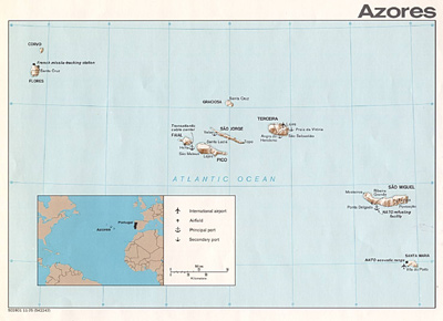
Here are all nine islands of the Azores along with in insert
Click for full size image Perhaps the oldest map of the Azores, |
||